Hiking Whiteside Mountain
Whiteside Mountain is one of the most popular hikes close to Sapphire Valley with amazing views and a great place to watch some wildlife.
Scroll down for more info, maps, brochures and videos!

Whiteside Mountain is one of the most popular hikes close to Sapphire Valley with amazing views and a great place to watch some wildlife.
Scroll down for more info, maps, brochures and videos!
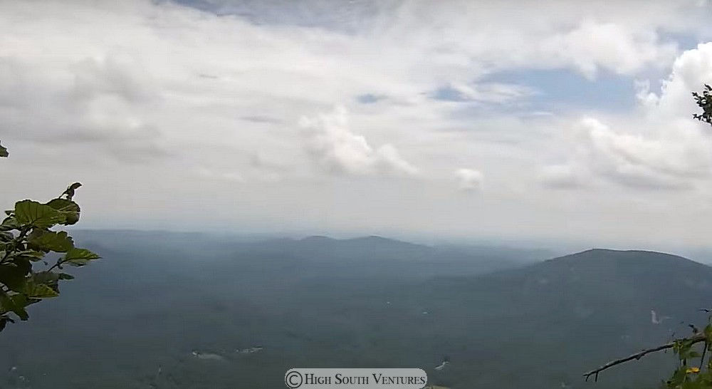
Whiteside Mountain had some great long-range views today. At an elevation of 4,930 ft. high, it sits along the Eastern Continental Divide and the mountain features 750 ft. high cliffs.
Video: Rodney Mykisen
A video below shows the actual trail a little better!
Whiteside Mountain is open dawn to dusk and has a small fee: $3 per vehicle or you can get a $15 annual pass which is usable at Dry Falls, Whiteside Mountain and Whitewater Falls.
A 2-mile loop trail climbs above sheer 750-foot high cliffs and offers outstanding views to the east, south and west. Whiteside Mountain Trail is rated "more difficult" because of its steepness.
During the spring and summer, you may see peregrine falcons flying above or sitting on rock outcrops. Through the endangered species program, the falcon was reintroduced in 1985 to Whiteside Mountain, part of the bird's native range.
From January until summer, peregrines-one of the world's fastest and most beautiful birds-return annually to nest on rock ledges.
Whiteside Mountain: A Landmark to Discover
[View this special US Forest Service Brochure here! ]
From Sapphire Valley Community Center the route is simply west on Highway 64 for 9.4 miles!
[View this map on Google]
Join us as we hike Whiteside Mountain, located right off of Highway 64 between Highlands and Cashiers, North Carolina! We found the views along the trail to be exceptional and the hike of moderate difficulty. We highly recommend this hike and can't wait to return, ourselves!
Video: This Scenic Life
Most content courtesy:
National Forest Service - our tax dollars at work!