
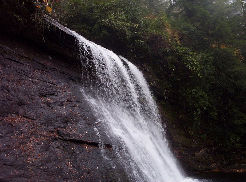

Glen Falls, Highlands NC
Embark on a memorable journey along the scenic hiking trail leading to the awe-inspiring Glen Falls, situated near Highlands, North Carolina. Spanning 2.6 miles round trip, this trail offers a moderate challenge and typically takes around 1 hour and 35 minutes to traverse.
Throughout the hike, you'll discover numerous breathtaking viewpoints showcasing the majestic waterfall from various angles. For the most spectacular sights, consider visiting after a rainfall, when the cascades are at their fullest. The trail culminates at a picturesque campsite, with a service road conveniently located just 20 yards away.
